Drawn in Silence: What the Clyde's Historic Maps Chose Not to Show
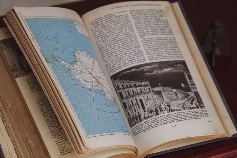
A map, we are often told, is a record of the world as it exists. But cartography has never been a neutral act. Every surveyor who set his instruments along the Clyde's banks made choices — about what warranted a line, a label, a boundary. And in those choices, entire worlds were quietly set aside.
The historical maps held within Glasgow's Mitchell Library, the National Records of Scotland, and the Clyde Port Authority's own archival collections are extraordinary documents. Detailed, often beautifully rendered, they speak to the ambition of an industrial civilisation that believed itself worth measuring precisely. Yet scholars and community historians who have spent years poring over these sheets have come to a shared and unsettling conclusion: the Clyde that appears on paper is not entirely the Clyde that existed.
The Cartographer's Commission
To understand what was omitted, one must first understand why maps were made. The great surveys of the nineteenth and early twentieth centuries along the Clyde were commissioned primarily for commercial and administrative purposes — to guide the deepening of the navigation channel, to record the expansion of the docks, to assert the boundaries of municipal and private authority. The Clyde Navigation Trust, established in 1858 to consolidate control over the river's infrastructure, produced maps that were instruments of governance as much as geography.
In that context, what mattered was what could be taxed, regulated, licensed, or improved. What fell outside those categories was, in the most literal sense, off the map.
Informal slipways used by small boat builders and repairers — men working without formal tenancy agreements, operating on handshake arrangements with riverside landowners — appear on scarcely any official survey. The same applies to the makeshift jetties that served itinerant traders, the seasonal workers who came downriver from the Highlands and Islands, and the small-scale salvage operations that picked over the river's industrial margins. These were not invisible to the people who used them. They were invisible to the people who drew.
Communities Without Coordinates
Perhaps the most consequential silence in the Clyde's cartographic record concerns the communities who settled along its banks during the great waves of migration that accompanied industrialisation. Irish labourers who arrived in significant numbers from the 1840s onwards, Lithuanian and Polish Jewish immigrants who established themselves in the Gorbals and along the south bank during the late Victorian period, and later arrivals from Italy and elsewhere — all of these communities shaped the human texture of Clydeside profoundly.
Yet on the maps, they do not exist as communities. Streets are named, tenement blocks are outlined, but the social geography — the particular concentrations of settlement, the informal gathering places, the market stalls and back-court economies that sustained these groups — goes unrecorded. What appears on the map is the built environment as its owners and administrators understood it. What is absent is the lived environment as its inhabitants experienced it.
Historians working with oral testimony and parish records have been able to reconstruct, partially, what the maps suppress. In Tradeston and Kinning Park, for instance, there is considerable evidence of a dense informal trading economy operating in the yards and closes adjacent to the formal docklands. Women played a central role in these exchanges, managing the flow of second-hand goods, foodstuffs, and clothing that kept working families solvent between wage packets. None of this appears in the cartographic record. It left no infrastructure that a surveyor was paid to measure.
Reading the Blank Spaces
For those willing to look carefully, the omissions themselves become a form of evidence. Archival maps of the lower Clyde from the 1880s and 1890s show long stretches of riverside frontage marked simply as 'waste ground' or left entirely blank — designations that, when cross-referenced with contemporary newspaper accounts and Poor Law records, correspond to areas of significant informal habitation and activity.
The term 'waste ground' is revealing. It signals not the absence of human activity but the absence of sanctioned human activity — land that had not yet been absorbed into the formal industrial economy and therefore did not merit detailed cartographic attention. In practice, such spaces were frequently anything but waste. They served as grazing land for the horses and cattle that sustained the urban food supply, as drying grounds for washing, as play areas for children, and as the sites of informal markets and social gatherings that formed the connective tissue of working-class neighbourhood life.
The process of 'improvement' that swept through these areas from the 1870s onwards — demolishing slums, extending the docks, laying down railway sidings — did not simply transform the landscape. It also, retrospectively, justified the cartographic erasure that had preceded it. Once the waste ground became a goods yard, the map caught up with official intention. The informal world it had replaced was simply never recorded.
Immigrant Economies and the Limits of the Ledger
A particularly instructive example concerns the area around the Broomielaw and the lower reaches of the Saltmarket during the period of peak Irish immigration in the 1850s and 1860s. Contemporary maps of this district record street layouts and building footprints with reasonable accuracy. What they do not record is the extraordinary density of lodging houses, informal credit networks, and casual labour exchanges that made this one of the most economically active — if entirely unregulated — districts in the city.
The Clyde's role as a point of arrival for immigrant labour meant that its immediate hinterland was always, in some sense, a frontier zone — a place where formal and informal economies overlapped and where the authority of maps and ledgers was perpetually contested by the realities of daily survival. The cartographers who surveyed this territory were not, by and large, interested in that contest. Their commissions did not extend to it.
Recovering What Was Lost
The work of recovering these hidden geographies is now well underway. Community history projects across Clydeside have begun the painstaking task of overlaying official cartographic records with oral history testimony, census data, and the often fragmentary records of churches, charities, and mutual aid societies. The picture that emerges is richer, stranger, and considerably more complicated than the official maps suggest.
Digital mapping tools have given this work new possibilities. Researchers can now layer historical survey maps against demographic data, overlaying the blank spaces of official cartography with the textured detail of community memory. The resulting composite images are not maps in the traditional sense — they are arguments about what maps have historically failed to do.
For visitors to the Clyde waterfront today, this history of cartographic omission offers a different way of seeing the landscape. The regenerated quaysides and repurposed industrial buildings that now define the riverside are legible in the official record. But beneath them, in the silences between the surveyor's lines, lies a Clyde that was always more various, more contested, and more human than any single map could hold.
The river, as ever, contains more than its representations suggest.