Built to Last: A Walker's Guide to the Victorian Engineering Marvels of the Clyde
Photo: Albert Bridge, CC BY-SA 2.0, via Wikimedia Commons
Glasgow is, by any measure, a city of architecture. Its Victorian commercial centre has been described as the finest in Britain, and the buildings of Alexander Thomson and Charles Rennie Mackintosh attract admirers from across the world. Yet some of the most remarkable feats of Victorian engineering in the city are not on any standard tour itinerary. They stand beside the Clyde, largely unheralded, serving functions so fundamental that they have become invisible through familiarity. This guide is an invitation to look again.
Why the Clyde Demanded Engineering Genius
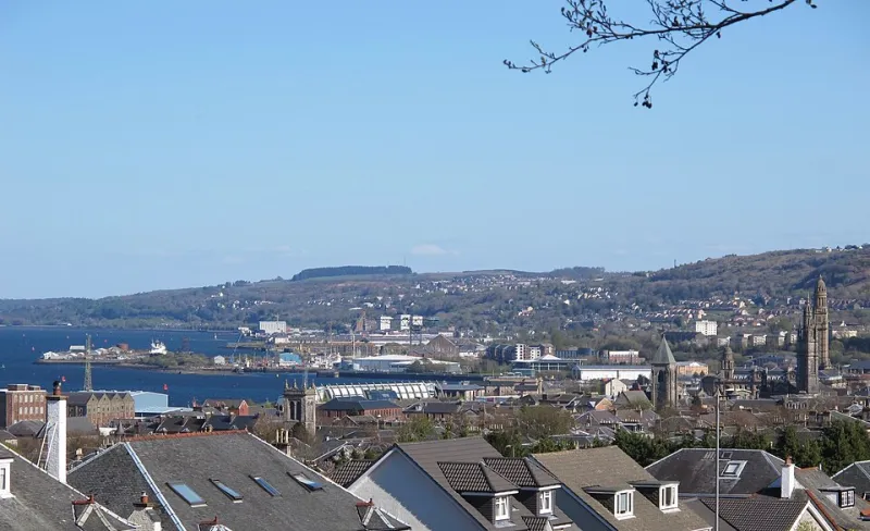
To understand why the Victorian structures along the Clyde are so extraordinary, it helps to understand the problem their builders were trying to solve. The river, in its natural state, was not the deep, navigable waterway that the shipbuilding industry required. It was shallow, tidal, and unpredictable. From the late eighteenth century onwards, an extraordinary programme of dredging, widening, and deepening transformed it into one of the busiest commercial waterways in the world.
That transformation required infrastructure on a corresponding scale — bridges that could accommodate enormous vessels, docking facilities capable of handling global trade, and hydraulic systems powerful enough to operate the gates and cranes that kept everything moving. The engineers who rose to that challenge were, in many cases, figures of genuine brilliance, and the structures they left behind deserve to be regarded as monuments every bit as much as the churches and civic buildings that surround them.
The Hydraulic Accumulator Tower, Finnieston
Begin your walk at what is arguably the most overlooked Victorian structure on the entire waterfront. The hydraulic accumulator tower at Finnieston — part of the former Clyde Navigation Trust's hydraulic power network — is a slender, purposeful column that once provided the pressurised water necessary to operate the cranes and swing bridges along this stretch of the river.
Hydraulic power systems of this kind were a Victorian innovation of considerable ingenuity, allowing heavy machinery to be operated at a distance from any steam engine. Glasgow's network, established in the 1870s, was among the most extensive in Britain. The accumulator tower, with its utilitarian brick construction and almost complete absence of ornament, is a direct expression of that functional philosophy. It does not seek to impress; it simply does what it was designed to do, and has continued to do so, structurally at least, for a century and a half.
The tower stands close to the Finnieston Crane, its more celebrated neighbour, and most visitors walk past it without a second glance. That is precisely what makes it worth stopping for.
Practical note: The tower is visible from the riverside path near the SEC campus. It is not open to the public, but can be examined closely from the pavement.
The Balmore Road Aqueduct and the Kelvin Connections
Moving westward along the north bank, the confluence of the Kelvin and the Clyde offers an opportunity to examine a piece of Victorian hydraulic engineering that is even less widely known. The management of water levels at this junction required careful structural intervention during the nineteenth century, and the stone-built revetments and weir structures that survive here are a testament to the precision with which Victorian engineers approached problems of flow and tidal management.
The Kelvin itself, as it approaches the Clyde through Kelvingrove, passes beneath a series of bridges that reward close attention. The Bunhouse Road Bridge, in particular, displays the kind of confident cast-ironwork that characterised municipal engineering in the 1870s and 1880s — decorative enough to acknowledge its public setting, but fundamentally shaped by structural logic.
Practical note: The Kelvin Walkway connects this area to Kelvingrove Park, making it a natural extension of any riverside walk.
Victoria Bridge: The River's Oldest Surviving Crossing
At the heart of the city, Victoria Bridge deserves more attention than it typically receives. Completed in 1854 to a design by James Walker, it replaced an earlier medieval bridge and remains the oldest surviving bridge across the Clyde in Glasgow. Its five segmental stone arches carry a grace that belies the engineering challenge they represent — the foundations were laid in notoriously difficult riverbed conditions, requiring a level of technical resourcefulness that contemporary accounts describe in considerable detail.
The bridge's parapets, with their restrained classical detailing, reflect the civic seriousness with which Victorian Glasgow approached its public infrastructure. This was not merely a crossing; it was a statement about the city's ambitions and its confidence in the permanence of its own prosperity.
Stand at the midpoint of the bridge on a clear day and look upstream. The view — warehouses, steeples, and the distant outline of the hills — has changed less than you might expect.
Practical note: Victoria Bridge connects the Gorbals to the Trongate and is easily incorporated into a walk between Glasgow Central and the Riverside Museum.
The Clyde Navigation Trust Warehouses, Anderston
The stretch of riverbank between the Kingston Bridge and the former Anderston Quay contains several surviving examples of Victorian bonded warehouse architecture that are frequently passed by commuters and visitors alike without recognition. Built to store imported goods — tobacco, sugar, grain — whilst duty assessments were completed, these buildings were designed for security and volume rather than elegance.
And yet elegance is precisely what many of them possess. The thick sandstone walls, the rhythmic repetition of loading bays, and the heavy iron shutters that protected the upper floors combine to create a visual language that is unmistakably Glaswegian. Several of these buildings have been converted for residential and commercial use in recent decades, but their exteriors remain largely intact, and the scale of their construction — some are seven or eight storeys in height — gives a vivid impression of the volume of trade that once passed through this part of the river.
Practical note: The warehouses are best viewed from the south bank, where the full elevation is visible across the water.
Planning Your Walk
The structures described in this guide are spread across approximately four kilometres of riverfront, from Victoria Bridge in the east to the Finnieston area in the west. The entire route is walkable in two to three hours at a comfortable pace, and the Clyde Walkway provides a continuous, well-surfaced path along the north bank for most of the distance.
The walk is most rewarding in the morning, when the light falls across the sandstone facades from the east and the river reflects the sky above the city. Autumn, in particular, offers conditions that make the older buildings appear to belong to the landscape in a way that no amount of renovation can quite replicate.
Bring a camera, but also allow yourself time simply to look. The Victorians who built these structures were making an argument about permanence — about the capacity of well-made things to outlast the circumstances of their creation. Along the Clyde, that argument is still being made, in stone and iron, every single day.